Listen, it’s dangerous out there at the best of times especially given the examples of the most dangerous and worst bike lanes to follow
A lot of these would be normal buffer zones or shoulders, but were painted with bike symbols to get multimodal dollars. Or to get the public off their back.
It’s pretty fucked
Them:
We’re bike safety gold rated! We have x miles of bike lanes! You can get anywhere in town using our robust bicycle infrastructure!
Me:
I hope my life insurance money will put my kids through college.
…That Clearwater one is a downtown that during covid got changed from a single lane car street that was shared with bikes to outdoor seating. It’s not a street anymore.
Yeah that looks like a decent use of space to me.
Just like not everywhere should have cars, sometimes bikes should get off and push.The thoroughfare could maybe be a bit wider and demarked or separated from the seating areas though.
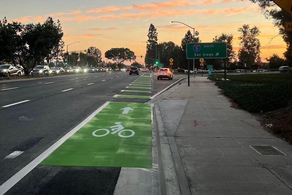
Oh man, those green painted ones are such a low cost way for city gov’t to say,“See?? We care, we’re doing all this.” I live in a city by Irvine and they did the same thing, and are just smuggly happy about what they’ve accomplished.
Those look pretty good compared to some I’ve seen. Check this one out: https://maps.app.goo.gl/f2BSkYAj7tfVVa3r9
Sketch AF, you’ll never catch me on something like this. Follow it 2 blocks east and a merge from another major road flows right across it. Follow it 2 blocks west and the whole mess goes under a diamond freeway interchange. This should have been sidewalk-level for sure.